Sanborn Maps
Creative research can uncover a wealth of information in records that were intended to serve a different purpose, and historians often find valuable information from unexpected sources like the Sanborn Fire Insurance Maps which depicted the commercial, industrial, and residential sections of more than 12,000 American cities and towns from ca. 1867 to 1970.
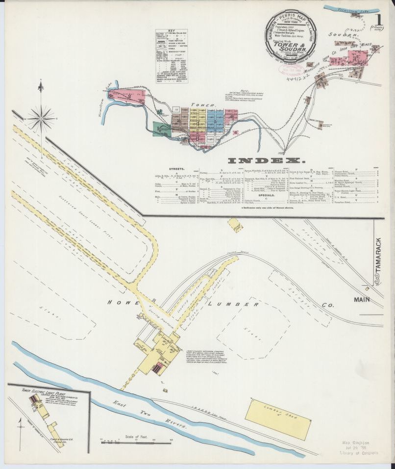
Fire insurance maps were developed in the United States in the mid-19th century in response to the insurance industry’s need to assess fire risks. Underwriters had previously inspected properties themselves, but as cities expanded, this system became impractical. As a result, several companies, among them the D. A. Sanborn National Insurance Diagram Bureau, began creating maps designed to assist insurance agents. By 1902, the newly renamed Sanborn Map Co. had monopolized the industry, making “Sanborn map” synonymous with “fire insurance map.”
The Sanborn Map Co. prepared its maps with an army of surveyors traveling from town to town, literally working from strangers’ backyards (although surveyors were told to contact the police station first, stories abound of surveyors being thrown in jail, attacked by dogs, or reported as spies). Relying heavily on their “Surveyors’ Manual,” surveyors recorded careful notes and diagrams that were then developed into intricately drawn, hand-colored maps that have become invaluable to historians.
For some towns, the Sanborn Map Co. prepared new maps as often as every five years, making them one of the best sources for showing change over time at specific sites. Both major cities and tiny villages were mapped by Sanborn surveyors. In fact, small towns were sometimes mapped more frequently than large cities. Sanborn surveys were not determined by population, but rather by the demands of the insurance industry.
Although insurance companies were the main consumers, city planners, government and municipal agencies, banks, and public utilities also purchased Sanborn maps and atlases. In the early 1940s, the U.S. Census Bureau purchased 1,840 volumes of Sanborn atlases and maps to serve as the cartographic base for their statistical and sampling surveys. This collection was transferred to the Library of Congress in 1967, where it remains as the largest publicly accessible collection of Sanborn Maps in the country.